Permit Application Number: SWC-7047/WV0109207
Permittee:
City of Montgomery
706 Third Avenue
Montgomery, WV 25136
County: Fayette
Location: From State Rt. 61 tale County Rt. 16/11 south to County Rt. 61/10 south. Travel east on a private road from County Rt. 61/10 at Donwood along Schuyler Fork to the landfill.
Latitude: 38º 09' 30" N
Longitude: 81º 19' 20" W
Closure Cap Area: 10 acres
Number of Monitoring Wells: 4
Cap Type: Subtitle D
Maps & Drawings:
•Location Map
•Design Drawing
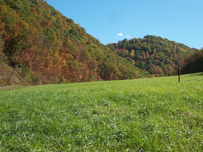
•Landfill Images
•Landfill Monitoring Well Aerial Map
•Landfill Monitoring Well Topo Map
Closure Status:
The landfill closure cap was completed by LCAP in 1998 and is currently in post closure status. Leachate is being transmitted by pipe line to Montgomery Waste Water Treatment Facility for disposal.
Return to the main LCAP page