Permit Application Number: SWC-5250/WV0109XX
Permittee:
City of Wheeling
1500 Chapline Street
Wheeling, WV 26003
County: Ohio
Location: From the intersection of US 40 and Mount Wood Road in Wheeling, travel 1.5 miles north on Mount Wood Road.
Latitude: 40º 05' 22.83" N
Longitude: 80º 42' 28.71" W
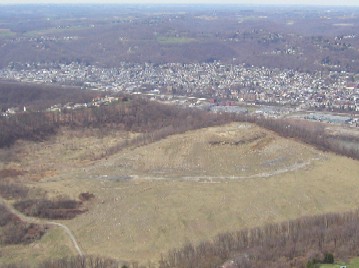
Closure Cap Area: 50 acres
Cost of Closure:
Number of Monitoring Wells: 4
Cap Type: Interim
Maps & Drawings:
•Location Map
•Design Drawing(pending)
•Landfill Images
•Landfill Monitoring Well Aerial Map
•Landfill Monitoring Well Topo Map
Closure Status:
The landfill closure cap is currently under design and scheduled for construction. Leachate is being transmitted by pipe line to Wheeling Waste Water Treatment Facility for disposal.
Return to the main LCAP page